STREET NETWORKS
GENERAL INFORMATION

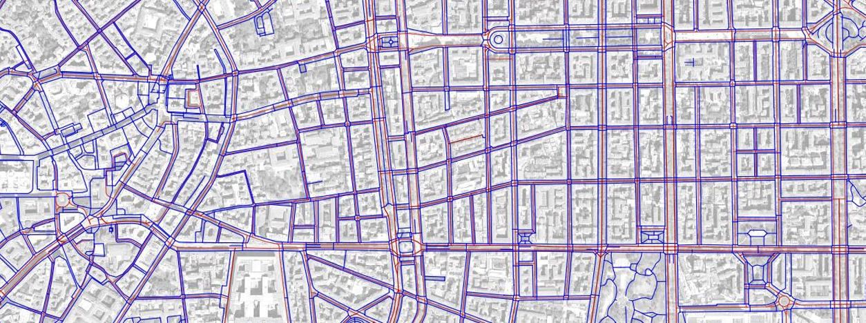
A street network is a collection of interconnected lines and points, known as edges and nodes in network science, that symbolize the system of streets or roads in a specific area. This network forms the basis for conducting network analysis. More specifically, street networks refer to the comprehensive representation of roadways, sidewalks, crosswalks, and other pathways that facilitate vehicular and pedestrian movement within urban and suburban environments. These networks play a crucial role in urban planning, transportation engineering, and accessibility studies. Vector data associated with these networks provides a detailed depiction of spatial connectivity and infrastructure, facilitating analysis and optimization of vehicular and non-motorized transportation systems within urban environments. The integration of both street and pedestrian networks is essential for a holistic understanding of transportation infrastructure.
Street Network Data
The street network data comprises vector representations of street centerlines, capturing the spatial layout and connectivity of roadways within an urban environment. Attributes associated with each street segment may include road type, speed limits, and directional information.
Pedestrian Network Data
The pedestrian network data involves vector representations of sidewalks, crosswalks, and pathway centerlines, emphasizing non-motorized transportation infrastructure. This data aids in the analysis of pedestrian movement, accessibility, and safety considerations.
MAIN SOURCES OF DATA
Street Network Data
The creation of street networks involves the utilization of geospatial data, typically in vector format, that provides detailed information about road centerlines. Common sources of raw data include:
- Geographic Information System (GIS) Databases:Municipal and government GIS databases contain information on road geometry, connectivity, and classifications.
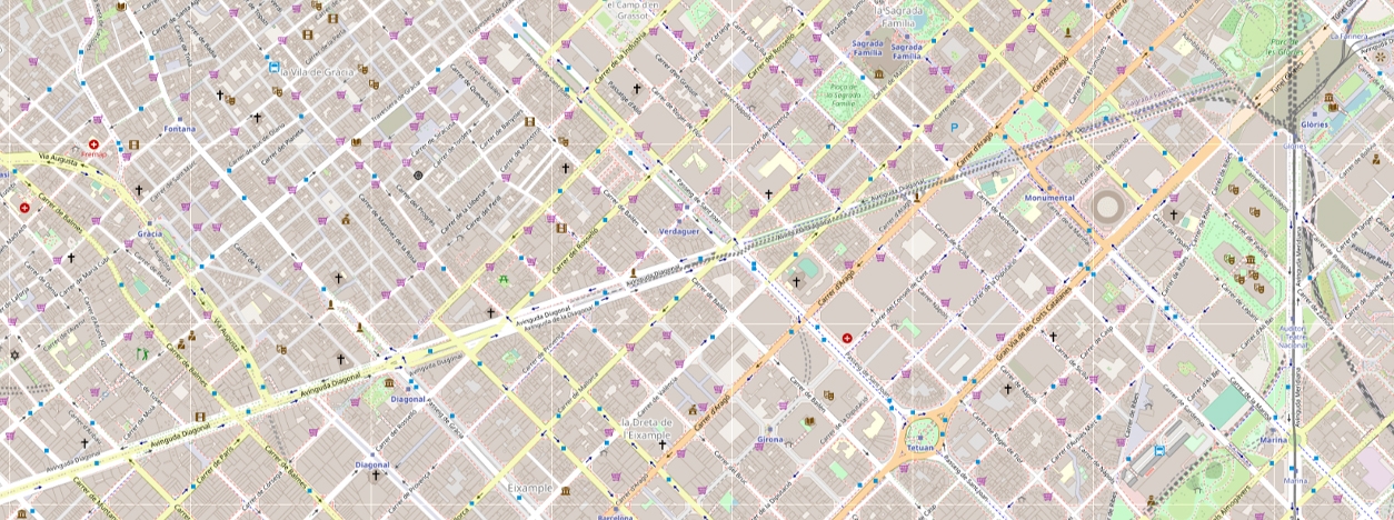
- OpenStreetMap (OSM):OSM is a collaborative mapping platform that has emerged as a valuable resource for street network data. It is a prominent open-source platform for street network data, providing a global dataset contributed by volunteers. OSM Contributors globally update it, incorporating data from GPS traces, satellite imagery, and authoritative municipal sources. Raw data includes nodes representing geographic points, ways denoting linear features like streets, and relations capturing logical or geographic relationships between other elements.
- National Mapping Agencies:Government agencies responsible for cartography often offer authoritative street data, including details on road classifications and hierarchies.
- Municipal GIS Databases:Local government GIS databases serve as invaluable sources of street network data, integrating information from surveys, transportation planning studies, and municipal infrastructure projects. Raw data encompasses survey measurements, road geometries, and attribute tables specifying road characteristics.
Pedestrian Network Data
With a growing emphasis on non-motorized transportation, pedestrian network data is gaining importance. Sources include:
- OSM Pedestrian Data:OSM now includes data on pedestrian infrastructure, such as sidewalks and crosswalks. The data’s availability is expanding, contributing to a more comprehensive representation of urban pathways.
- Municipal Planning Departments:Local governments often maintain datasets detailing pedestrian infrastructure, which can include sidewalk locations, crosswalks, and pedestrian-only zones. The process involves a combination of surveys, field data collection, and Geographic Information Systems (GIS).
- Remote Sensing:Remote sensing imagery is also used for automatically retrieving pedestrian networks. Tile2Nettool, for instance, is a tool that uses a trained model to automatically map pedestrian infrastructure from aerial images. It detects roads, sidewalks, crosswalks, and footpaths, converts these into geo-referenced polygons, and generates a connected centerline network.
MAIN APPLICATIONS

Street Networks data find applications in various domains, including:
Urban Planning
Informing city planners about the existing transportation infrastructure to guide future developments and improvements. Supports decision-making processes by identifying areas requiring infrastructure upgrades or new road construction.
Transportation Engineering
Designing efficient road networks and ensuring the safety and accessibility of pedestrian pathways. This is a critical aspect of transportation engineering. Street network data helps identify areas where pedestrian infrastructure, such as sidewalks and crosswalks, may need improvement to enhance overall safety and accessibility.
Route Choice Modeling
- For vehicles: Analyzing optimal routes considering factors such as traffic flow, road capacity, and speed limits.
- For pedestrians: Assessing the most accessible routes, considering factors like sidewalk availability, crosswalks, and proximity to destinations. Understanding pedestrian route preferences is crucial for creating walkable urban environments and promoting non-motorized transportation.
Accessibility Studies
Accessibility studies use street network data to model catchment areas around key pedestrian nodes, such as transit stations, schools, or commercial centers. By calculating these catchment areas, planners can identify regions with enhanced pedestrian accessibility and prioritize infrastructure improvements in areas with limited access. This approach contributes to creating more inclusive and walkable urban spaces.
Transit Planning
Street and pedestrian network data integration with transit information form the basis for comprehensive transit planning. Planners can analyze how well transit routes align with existing street networks and pedestrian pathways, optimizing the overall transportation system. This integration facilitates efficient intermodal connectivity, providing commuters with seamless transitions between different modes of transportation.
RELATED LINKS AND ADDITIONAL RESOURCES
Further background information
- National Association of City Transportation Officials (NACTO):NACTO provides guidelines and resources for urban transportation planning, including street design, transit, and bicycle infrastructure.
- Urban Street Design Guide by NACTO:This guide by NACTO offers detailed insights into urban street design principles, including information on street network planning.
- Transportation Research Board (TRB):TRB is a division of the National Academies, offering research and publications on various transportation topics, including street network planning and design.
- GIS for Transportation:Esri’s GIS for Transportation page provides information on how Geographic Information Systems (GIS) are used in transportation planning and analysis.
- Bureau of Transportation Statistics (BTS) – National Transportation Atlas Database (NTAD):Explore the National Transportation Atlas Database (NTAD) by BTS, offering comprehensive transportation data, including information on streets, highways, and more.
- ArcGIS Pro – Create and Use a Network Dataset with Public Transit Data:This resource from Esri’s ArcGIS Pro documentation provides guidance on creating and using a network dataset with public transit data for comprehensive transportation planning.
Accessing and working Data
- GIS Data Repositories:Visit Data.gov for access to raw geospatial data, including street and pedestrian networks, through various GIS datasets.
- Mapillary Blog – Pedestrian Infrastructure Update (2021):This blog post provides an update on pedestrian infrastructure and how it contributes to mapping efforts, offering insights into the importance of pedestrian network data.
- OpenStreetMap (OSM) Data Access:Utilize the OpenStreetMap API (Application Programming Interface) or bulk data downloads to access both street and pedestrian network data contributed by the global community.
- OpenStreetMap – Specific Map View:Explore this specific map view on OpenStreetMap, providing a detailed look at the location with coordinates 42.2534 latitude and -71.7531 longitude.
*Images from

